Algeria comes onto the map.

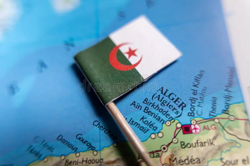
Qorddu's geographical engine for Algeria is now live — a country-wide deployment covering economic actors, institutions, infrastructure, and knowledge across all 58 wilayas.
Algeria is the largest country in Africa by land area. It is also, by most measures, the most underindexed economy of its size anywhere in the Mediterranean basin. A country of 45 million people, with a diversifying industrial base, a young and digitally active population, and a geography that spans coastal metropolises, Saharan energy corridors, and highland agricultural zones — and almost none of it is structured, searchable, or connected in a way that reflects its actual scale. That is what this engine is here to change.
The engine-dz is a geographical engine, which means it operates differently from Qorddu's vertical domain engines. Rather than indexing a single sector in depth, it builds a structured map of all economic, institutional, and civic actors across the full national territory. Think of it as the connective tissue — the layer that makes vertical engines, when they deploy on top of it, immediately aware of where in Algeria they are operating and what else is nearby.
"Ageographical engine does not describe a country. It gives a platform the ability to think in it."
The initial deployment targets the northern economic corridor first — Algiers, Oran, Constantine, Annaba, and the industrial and agricultural zones between them — before progressively extending southward into the high plateaus and the Saharan wilayas. This is not a reflection of where Algeria's importance lies, but of where structured data currently exists in sufficient density to anchor the index reliably from day one.